PORTSEA WEATHER AND TIDES
http://www.weatherzone.com.au/vic/central/portsea
http://www.bys.asn.au/weather-webcam
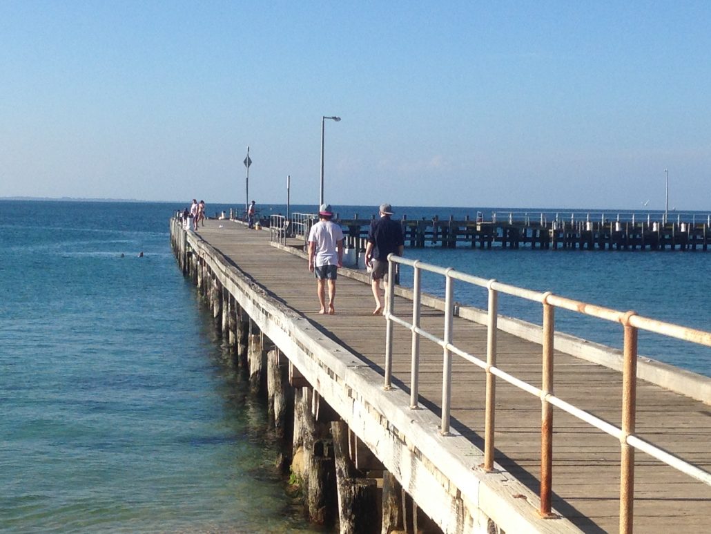
The Camera from which these images are relayed is at the Southern end of the BYS Jetty. The BYS Jetty runs approximately North/South. The camera pans through a series of preset locations which in combination provide visual images of:
-Sea state
-Visibility
-Tide Height
-Tide state
-Cloud conditions
In sequence the images are:
-Sea state and visibility west of BYS
-Sea state and visibility north of BYS
-Sea state and visibility east of BYS
-Tide height at low landing of BYS jetty
-Tide State – ebbing or flooding – at cone buoy BYS finish line
-An ebbing or outgoing tide has the buoy leaning to the left
-A flooding or incoming tide has the buoy leaning to the right
The camera pauses at each preset location for 30 seconds before panning to the next location. The intention is for the camera to provide real time images of prevailing conditions in the Blairgowrie area to complement data provided by the BYS weather station. This service has been implemented using Grant Funds provided by Transport Safety Victoria (formerly Marine Safety Victoria).


